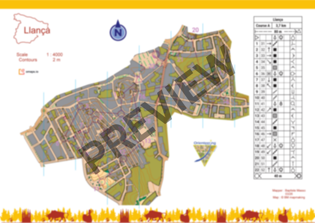
Llançà
 Map by Baptiste Masso
Llançà
Llançà’s historic village is organized around the Església de Sant Vicenç. It is made up of narrow streets, small squares, and compact houses typical of traditional Catalan villages. The terrain includes short climbs and a few stairways. The elevation ranges from moderate to steep, with few private areas.
Please respect private areas, forbidden areas, dangerous areas (impassable cliffs). Avoid spike shoes.
The course is 3,7km (reel). There is no flags on the terrain.
Map has been made in March 2026. You can also order the map without courses.
Log in to comment