Malminkartanonhuippu
 Map by Baptiste Masso
Malminkartanonhuippu – A-1

Malminkartanonhuippu – A-2
Malminkartanonhuippu
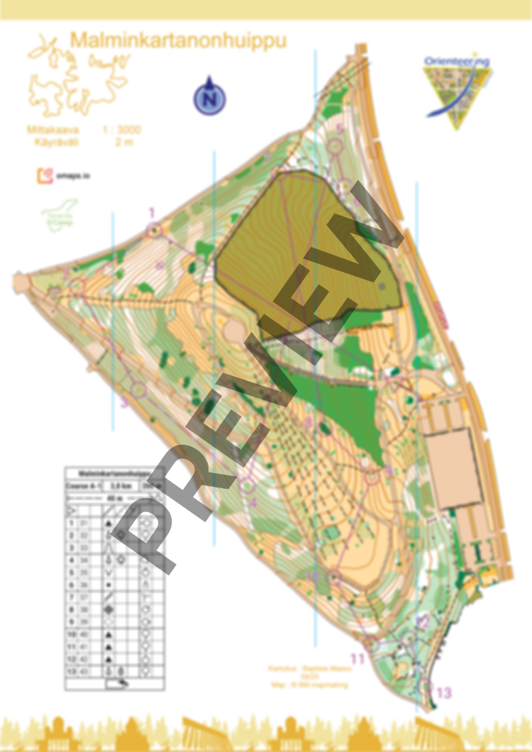
New map of Malminkartanonhuippu. Mainly open land, vegetation features, and many paths. The vegetation in the open areas can vary drastically with the seasons. Elevation changes are very important, and you will probably have to face the stairs with 426 steps. There is only one private area on the map (a downhill bike park). No traffic.
Please respect private areas, forbidden areas, and the nature (bird nests and flowers). Avoid spike shoes.
The course is 3,8km (200m D+) with a flip map over. There is no flags on the terrain.
Map has been made in September 2025. You can also order the map without courses.
Log in to comment