Kangaspelto
 Map by Baptiste Masso
Kangaspelto_Course A_1/2
Kangaspelto_Course A_2/2
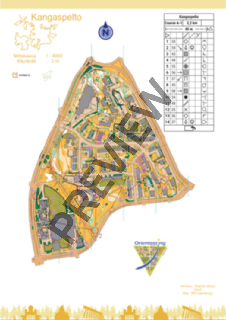
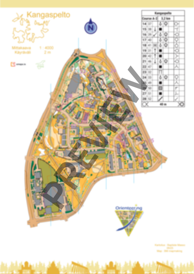
Kangaspelto
New map of Kangaspelto. Mainly open parks, residential areas with detailed gardens, and school backyards. Fast grassy terrain with light elevation changes. Some private areas. Light traffic (there is not point to use Vihdintie and Huopalahdentie).
Please respect private areas, forbidden areas, dangerous areas (impassable cliffs) and the nature (bird nests and flowers). Avoid spike shoes.
The course is 3,2km with a flip map over. There is no flags on the terrain.
Map has been made in June 2025. You can also order the map without courses.
Log in to comment