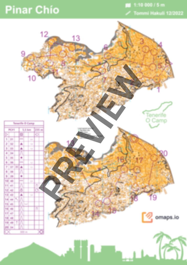
TOC 2023 - Middle distance, Pinar Chío
 Map by Tommi Hakuli
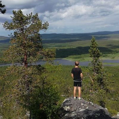
The map of Pinar Chío is located between altitudes of 1450m-1650m asl. It is very unique and really fast terrain mostly covered with volcanic ash. Other part has more stony ground. In a clear day you can enjoy spectacular views toward some of the other Canarian islands: La Gomera, La Palma and El Hierro. And also towards El Teide.
As this terrain is located pretty high up in the mountains the weather can change rapidly. In rainy days in the winter it can also get quite cold.
Middle distance training planned in the best parts of the map. Fast paced downhill orienteering in the first part and physically tough second part mostly in a uphill. Red tapes in every control point.
Note! The parking place of Área Recreativa Pinar Chío is still not in use (december 2022) so you have to park car in the small road crossing shown in the map in omaps.io. But please don't block the start of the gravel road completely. With good parking there is place for 8 cars. If the official parking place is opened, then use that.
Don't leave anything valuables and nothing visible in the car during trainings. This is a recommendation from local authorities.