Viikin puulajipuisto
 Map by Baptiste Masso
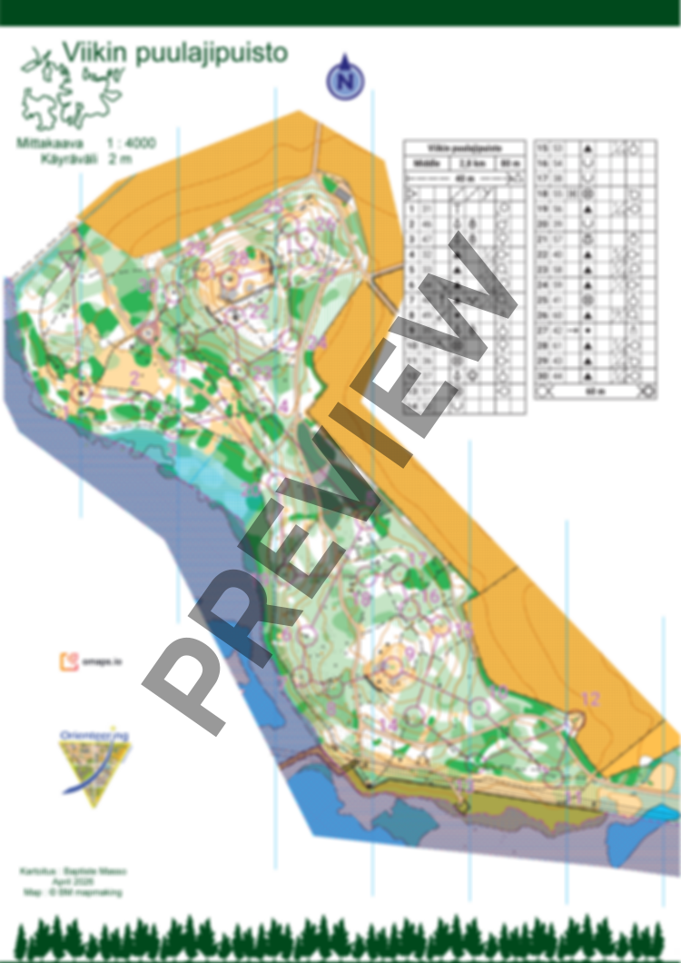
New map of Viikin puulajipuisto. Very nice forest with good running speed. Some rocky areas and nice open hills. The vegetation has been mapped with visibility and runnability in mind. Be careful when crossing paths, as there may be many cyclists.
Please respect forbidden areas (sensitive vegetation or university test sites), hazardous areas (impassable cliffs), and the natural environment (bird nests and flowers). Avoid using spiked shoes.
Symbol 418 (Prominent bush or small tree) is also used for small bushes that do not lose their leaves.
Symbol 111 (Small depression) are about 50cm depth.
The course is 2,8km with 80m elevation. There is no flags on the terrain.
Map has been made in April 2026. You can also order the map without courses.